

Bluegrass Airlines, December 2004
By Bill Von Sennet
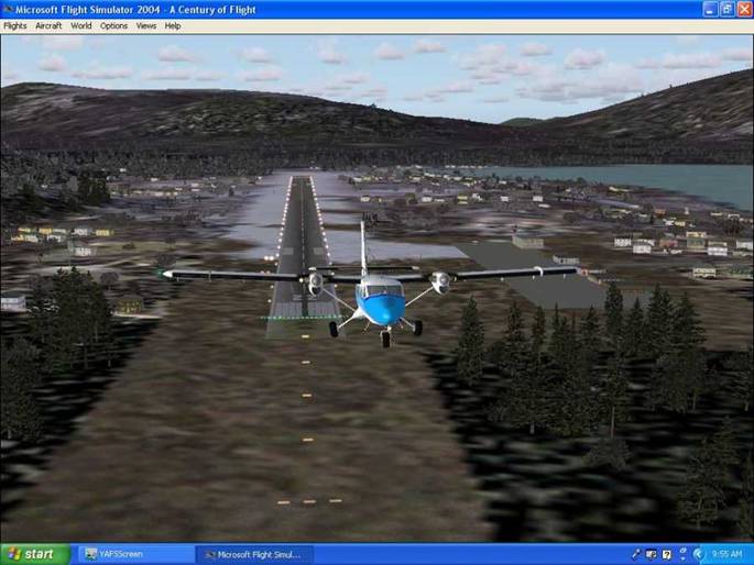
This month, we will be flying up the inside passage of South East
Alaska. Most of the flights will be of
one hour or less, and they lend themselves well to multi-player flying. So if you can join me, I will be on BushNet. Times and
dates will be announced on the BGA
forum.
We will begin at CYPR Prince Rupert, BC The first flight will take us to
Ketchikan PAKT with a touch and go enroute at Annette
Island PANT.
CYPR to PANT
Heading 294 deg Distance 60 nm.
RW12/30 7,493’ asphalt
RW 2/20 5,09’ gravel.
Navaids VOR/DME
117.10 located 2nm NW brg 318 deg. NDB 266.0 located 3 nm NE brg 305. Depending
on the weather Runway 30 is almost a straight in from
PANT to PAKT There are
several ways to fly this segment depending on weather. Don’t try to fly it direct as you will
encounter terrain. PAKT RW 11/29 7,484’ Ashphalt. ILS is
109.3 ILS/GS/DME for RW 11 ILS/BC for
RW 29 NDB 396.0
is 0.3 nm from the threshold of RW 29 on the localizer.
If you choose RW 29 try this route:
Heading 329 deg Distance 16 nm to the ILS. Final 290 deg distance 4.6 nm
I used RW11 using
this route: Heading 290 deg Distance
13.1 nm, Heading 326 deg 14.3 nm, Heading 36 deg Distance 1.6 nm to ILS, Final
110 deg Distance 6.0 nm
Flight #2 Ketchican
PAKT to Wrangel PAWG and
Once again there is more than one way to fly. I chose the long way around with an ILS
approach.
To Fix 1: Heading 279 deg
Distance 21.8 nm
To Fix 2: Heading 313 deg
Distance 14.1 nm
To Fix 3: Heading 302 deg
Distance 28.2 nm
To VOR 116.50: Heading 291 deg Distance 13.4 nm
To ILS 108.50: Heading 48 deg Distance 17.3 nm
Final: Heading 90 deg
Distance 5.6 nm
Runway 10/28 5,986’ asphalt
ILS 10 108.50
NDB 206.0
Take off using RW 28 for the short hop to Johnson Petersburg PAPG
Runway 4/22 5, 990’ Asphalt
I used runway 22.
Fly direct to NDB 372.0:
Heading 294 deg Distance 24.2 nm
Base leg: Heading 314 deg
Distance 1.9 nm
Final: Heading 224 deg Distance 3.2 nm
Flight #3 Johnson
DC-3 Airways has a revised
Up to now we have been following the inside passages and flights
could have been flown at 2,500’ to 3,500’ depending on the headings. To
The route for aircraft limited to 500 fpm climbs and decents is slightly different.
Take off RW 4
Departing
To Fix 1: Heading 330 deg Distance 12.7 nm
To VOR 113.80: Heading 238
deg Distance 85.5 nm
Base Leg To ILS/BC RW 29: Heading 20 deg Distance 12.0 nm
Final: Heading 289 deg Distance 3.4 nm
Flight #4
Weather permitting, take off on RW 29. Climb to 4,500’
To VOR 114.00 : Heading 340 deg Distance
71 nm
To ILS RW 8 109.9: Heading
359 deg Distance 11.9 nm
Approach on ILS 109.9:
Heading 62 deg Distance 14.5 nm Waypoint is NDB 332.0
Finals RW 8: Heading 79 Deg Distance 1.2 nm
Flight #5
This is a low level flight up the inside passage. I flew at 2,500’ direct to the 245.0 NDB
Take off RW 26 Fly runway heading for 9 nm
To NDB 245.0
Heading 311 Distance 53.2nm
Downwind RW 8: Heading 260 deg Distance 5.7 nm Watch the high terrain on the left and
the right!
This is a tight approach. No
time for a base and final. Make a right
turn to the airport.
Turn to final. Heading 79 deg Distance 3 nm. When established on final you will be about 1
nm from runway.
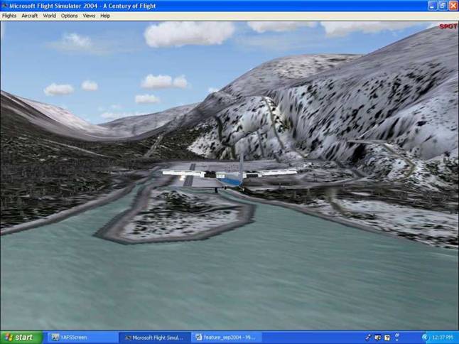
Runway 8
4,000’ Asphalt
Turning Final Haines
Haines PAHN to
Take off on RW 8
When clear of terrain turn left to follow the passage up to
Heading about 341 deg Distance 14.3 nm
Initially I climbed to 2,500’.
1,500’ would be a better choice.
This is not a flight to make in bad weather. No navaids and the
mountains are on both sides of the channel.
Final: Heading 17 deg Distance 1.3 nm
Runway 2 3,752’ Asphalt
I started the final
at 500’ and was too low. I think 1000’
and a steep descent would be better.
Final
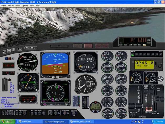
I didn’t mention the elevations of any of the airports. All of them are very close to sea level. You can also fly these flights using float
planes, as all of the airports (except
Return to the main Bluegrass
Airlines Page